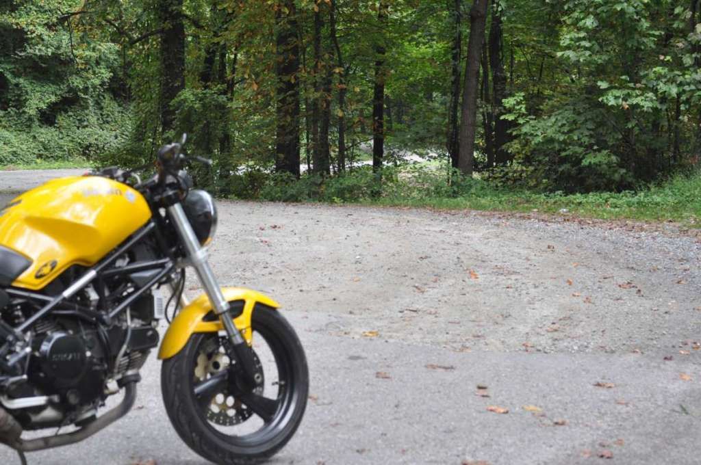
Today's adventure started with soaked roads and uncertain skies. Skies that would not once, but twice do a superb job of soaking me to the skin despite water resistant gear. From there, I headed to Black Mountain, NC, a once impossible place to reach by rail from nearby Old Fort, NC. I missed out on the rail depot, BUT found some other things.
On OLD US 70 (2-lane that comes and goes parallel to the current 5-lane US70 and I-40) we find that WNC has its own tiny piece or Arlington. My grandfather was a Marine that was one of the first units landed on Iwo Jima in the famous and bloody assault during WWII. He survived despite his unit having a 30-second life expectancy once they hit the beach. He isn't buried here, but I always seem to be drawn in to these military cemeteries. I can almost guarantee someone from his unit was laid to rest here.
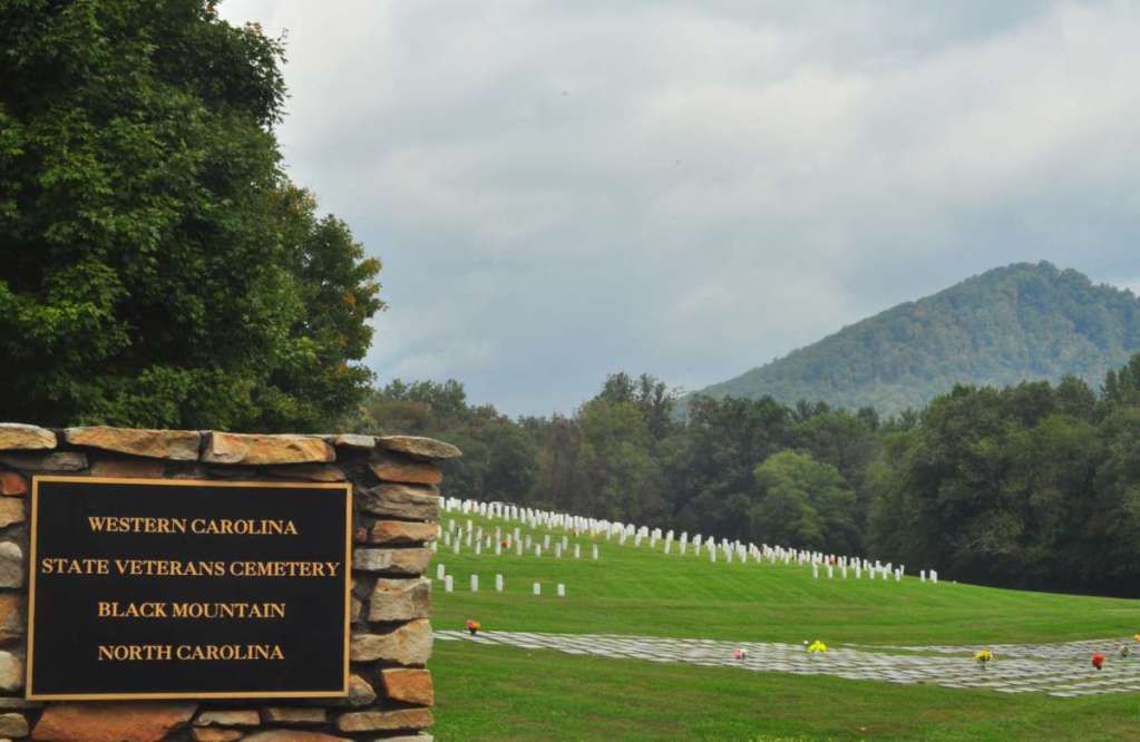
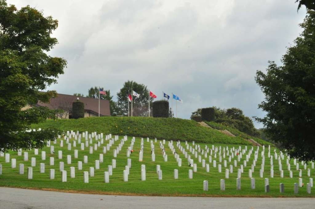
These perfectly neat rank and file rows of white stones always seem so somber.
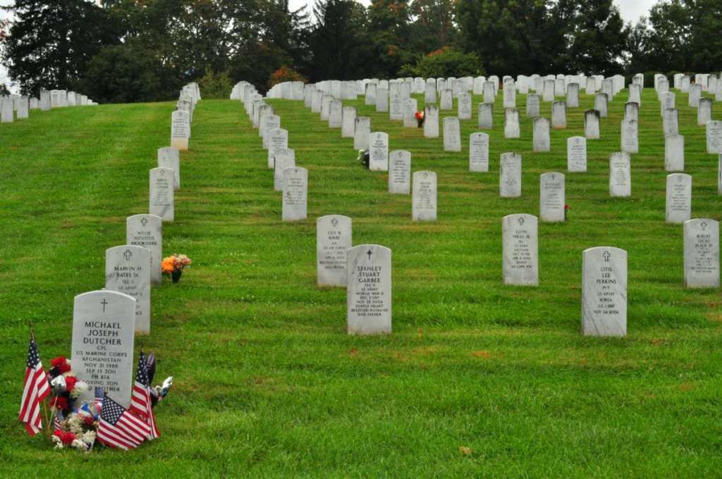
I noticed one particularly decorated stone, moved in for closer look and used it to frame another shot. 23 years old is all.
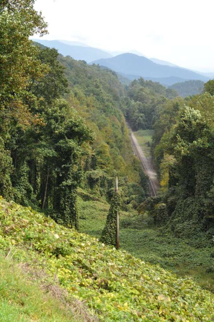
Moving to less somber parts of the ride. I'm doing some railfanning along a late 1800s engineering feat known as the "Old Fort Loops." It was thought impossible to cross the Blue Ridge crest with rail. It takes about 13 miles of rail to cover roughly 3 miles between Old Fort NC and the bottom of the Blue Ridge, and Black Mountain just across the Crest of Blue Ridge. This stretch of railroad was built by convict labor in the late 1800s.
I headed East on US70 and Old US70 and headed for the crest of the Blue Ridge Mountains. I'm paralleling I-40, just before it heads down the steep and windy Black Mountain Grade. There is a REQUIRED stop for trucks at the top so they can see a huge map showing all of the runaway truck ramps should they lose their brakes on the grade. For me though, I'm taking a route less traveled.

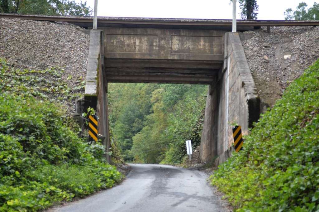
All so I can follow these tracks that you see disappearing into the Swannanoa Tunnel, which is 1800ft long and US70 and I-40 go over now. It was built by convict labor between 1877 and 1879.
I'm soon met with the gravel the sign promised.
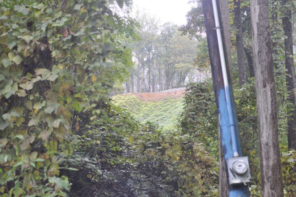
All along this area in the "loops" that wind up the mountain like a spiral staircase, these 1-lane, low clearance crossovers are the norm.
Just a shot to show the difficulty of what the engineers had to work with here on the ridge.
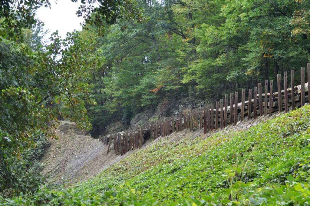
A closer look at the cut:
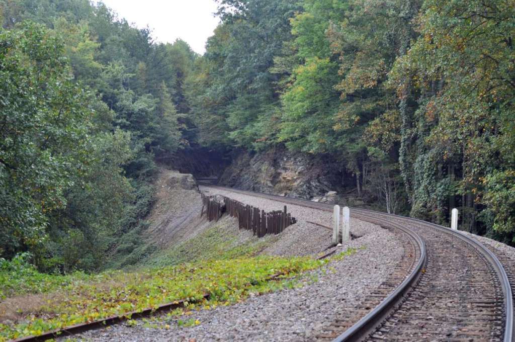
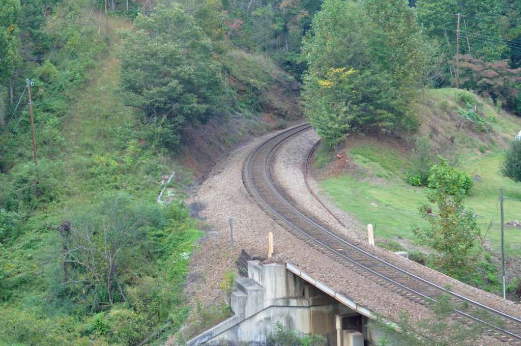
Following the winding gravel road, soon the rails are WAY up on the ridge:
A few turns later (and over a mile of RR track) the tracks are just below me:
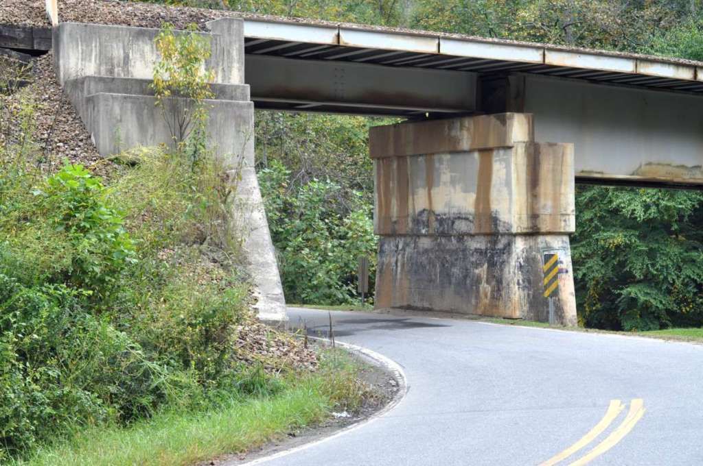
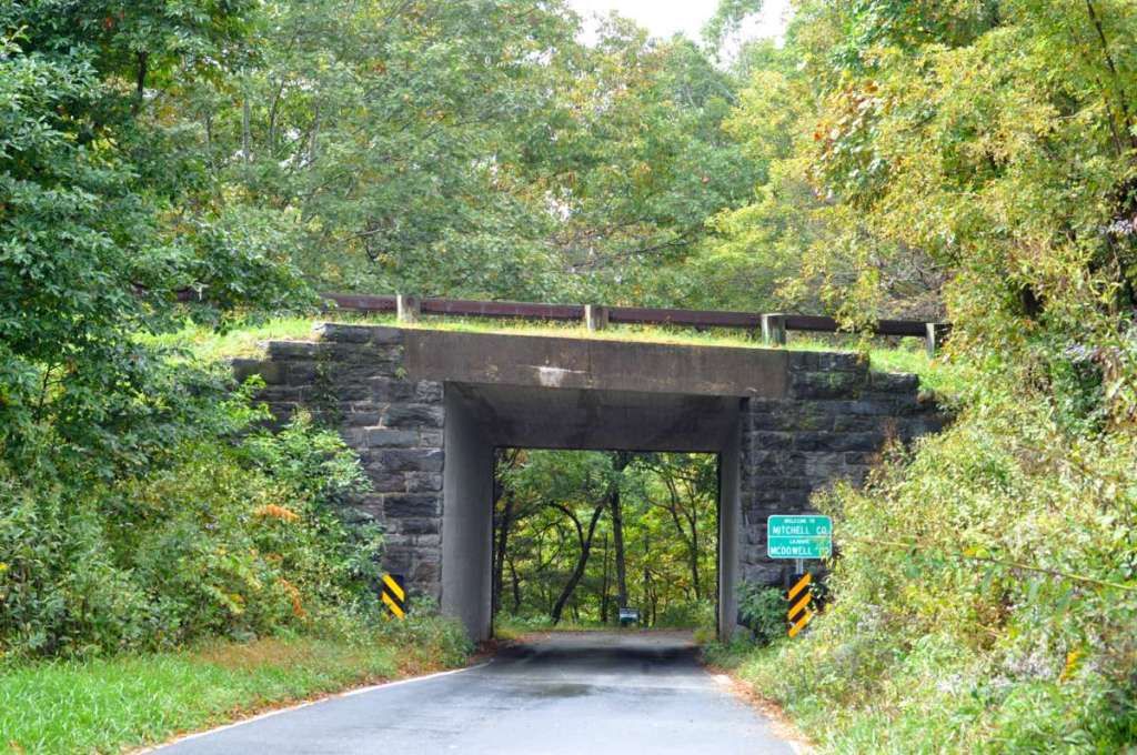
The gravel drops down a steep hill and turns back to pavement, and I go under the bridge in the previous shot:
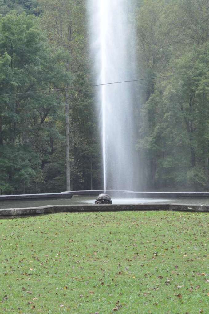
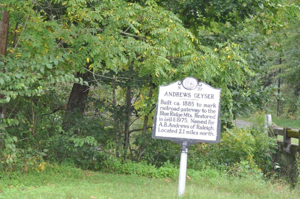
This brings me to Andrews Geyser. This was created as a tribute to the engineer that created the loops to get trains up the Blue Ridge. As passenger trains came to Black Mountain and Asheville, passengers saw this at least three times because of the winding nature of the loops.
The marker a couple miles east of the Geyser:
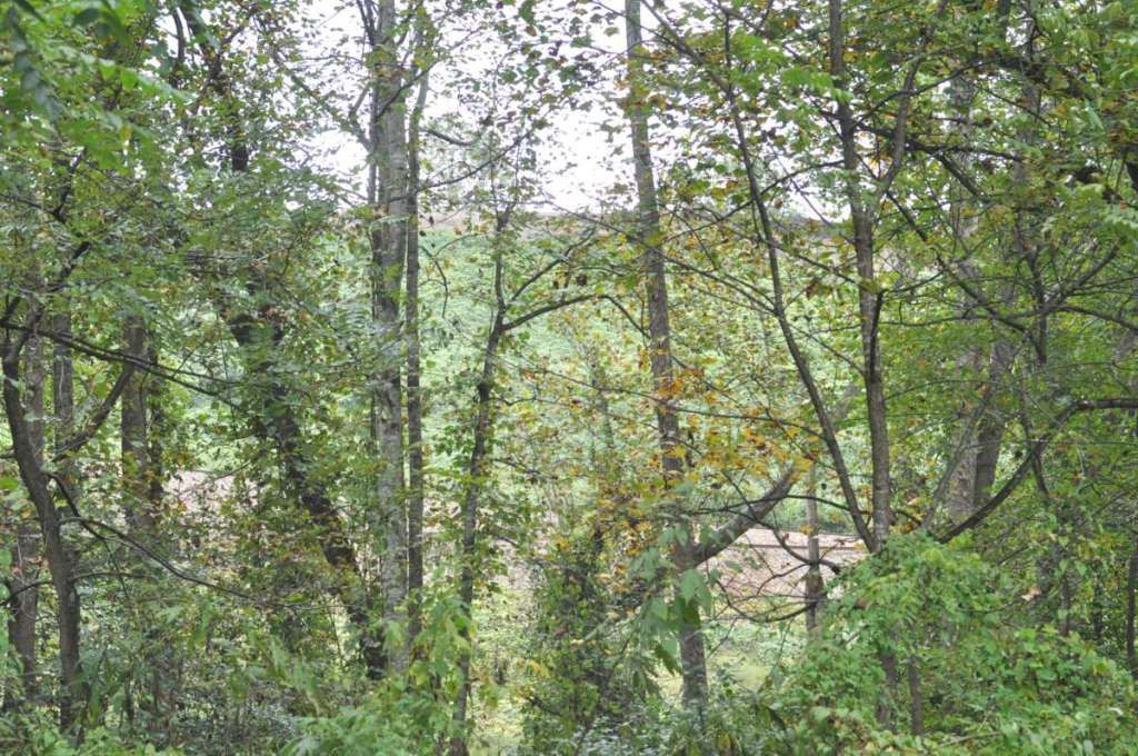
The view opposite the Geyser.
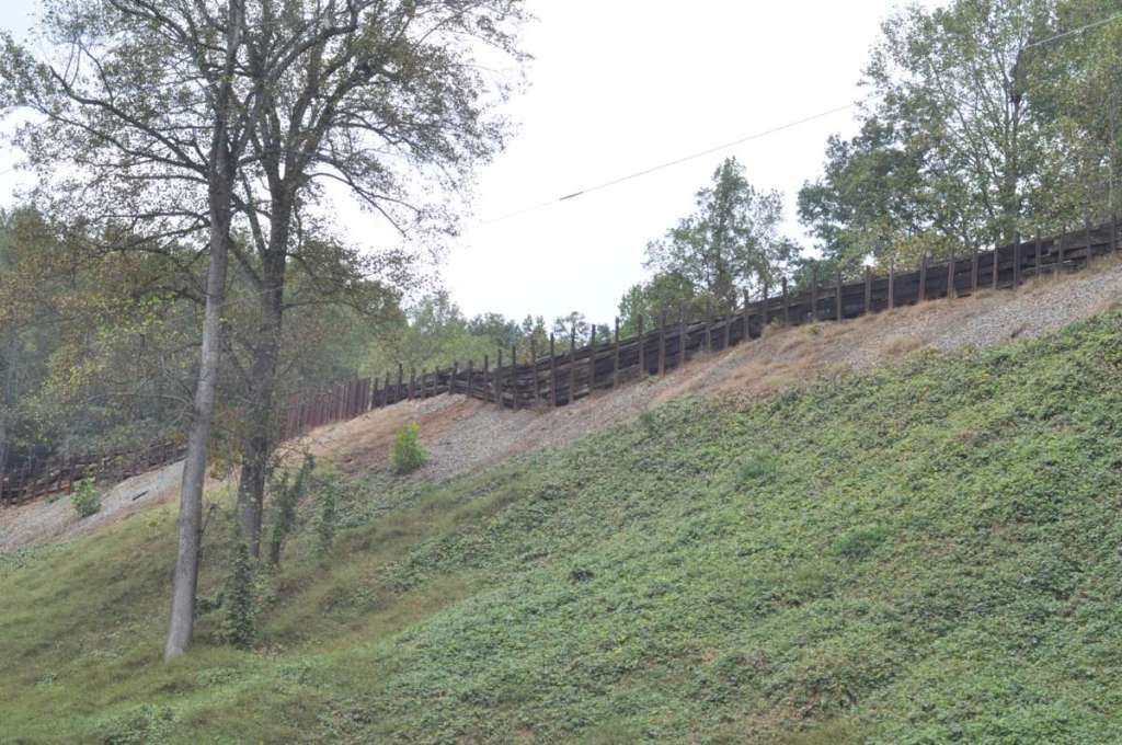
Just down the hill from the Geyser, you see this view. You can see TWO layers of the loops. One mid-picture, and the other where the sky meets the rails.
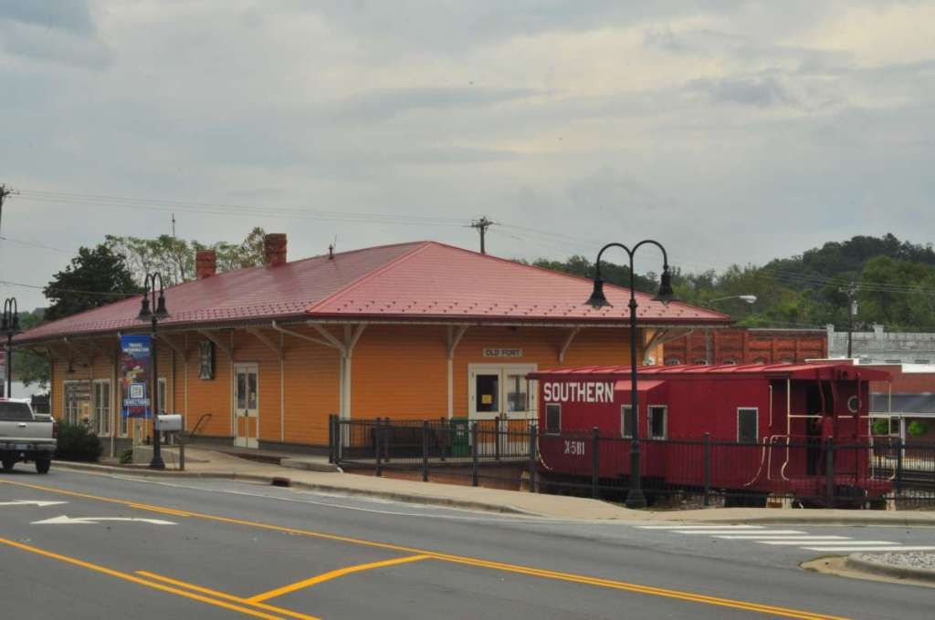
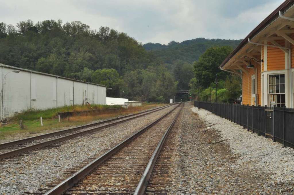
I drop right into Old Fort along with the RR tracks. This is the old Depot, now rail museum, and has a Southern Railways caboose in nice shape as well. The depot was built in 1881
A nice rail shot looking west toward the loops that I just came from.
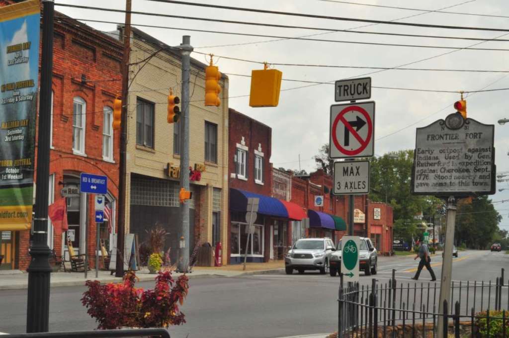
Downtown Old Fort, just adjacent to the depot.
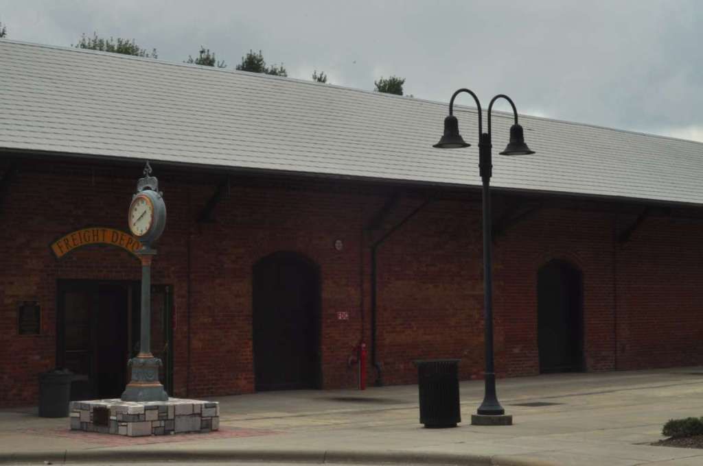
Now, I head on to Marion, where the railroad had a freight depot, and a viaduct built around 1900 that still carries CSX trains today.
Marion Freight Depot. Construction began in 1868. It has been renovated many times, but the exterior is mostly the same. It currently is a community center, visitors center and concert hall.
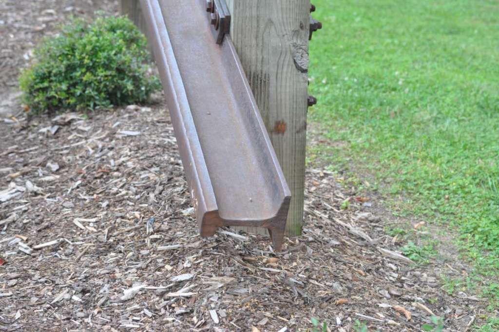
There is also sitting area/courtyard with a sculpture made from old rails:
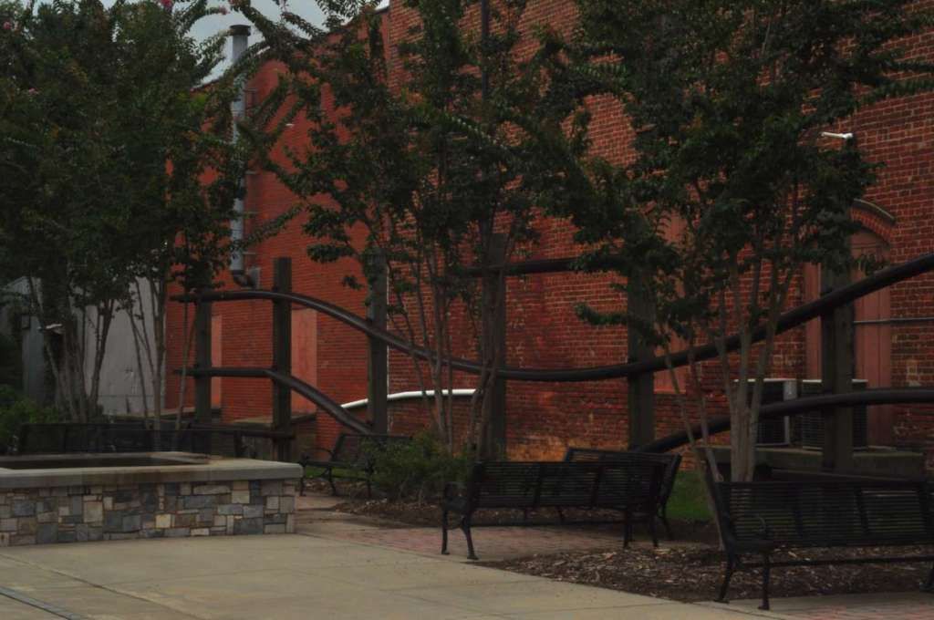
Yup, those are definitely rails.
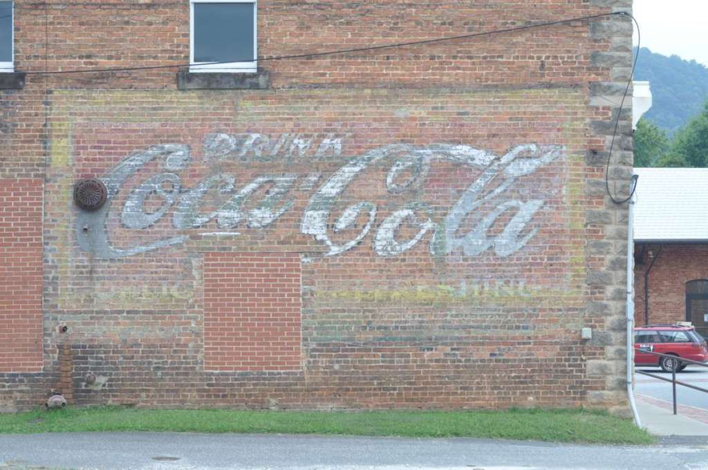
I also found the remnants of an old Coke-Cola advertisement on an adjacent building.
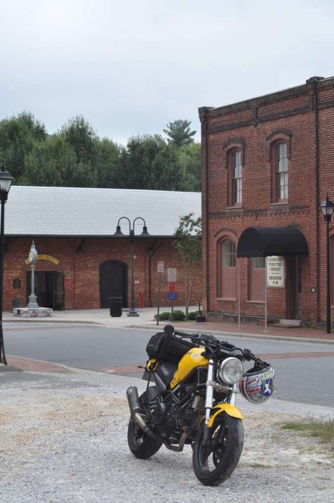
Grabbed a shot of Molly with the depot in the background.
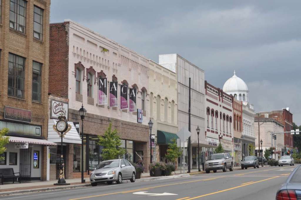
I stopped for a picture of the old downtown Marion, NC.
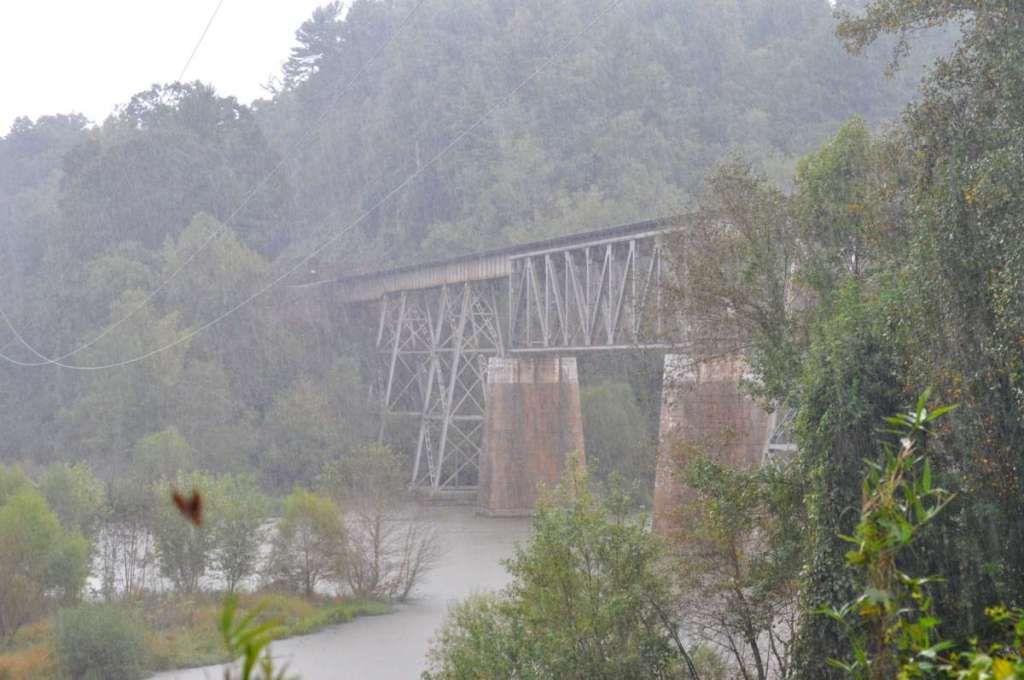
Then, I headed still more east, but the rains started and with a vengeance. The picture is the old Clinchfield Catawba Viaduct that crosses a northern section of Lake James. This structure was built around 1900 and still carries multiple CSX trains daily. You can see the rain in the next pics too, it was REALLY hard.
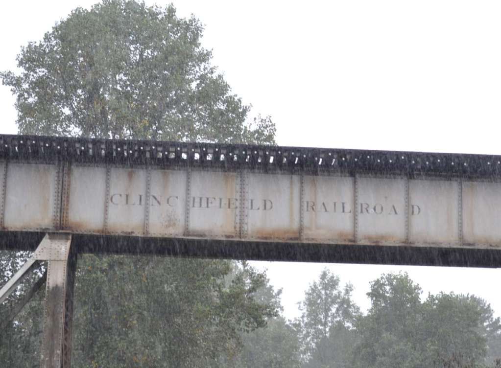
Old Clinchfield paint CSX hasn't bothered to remove:
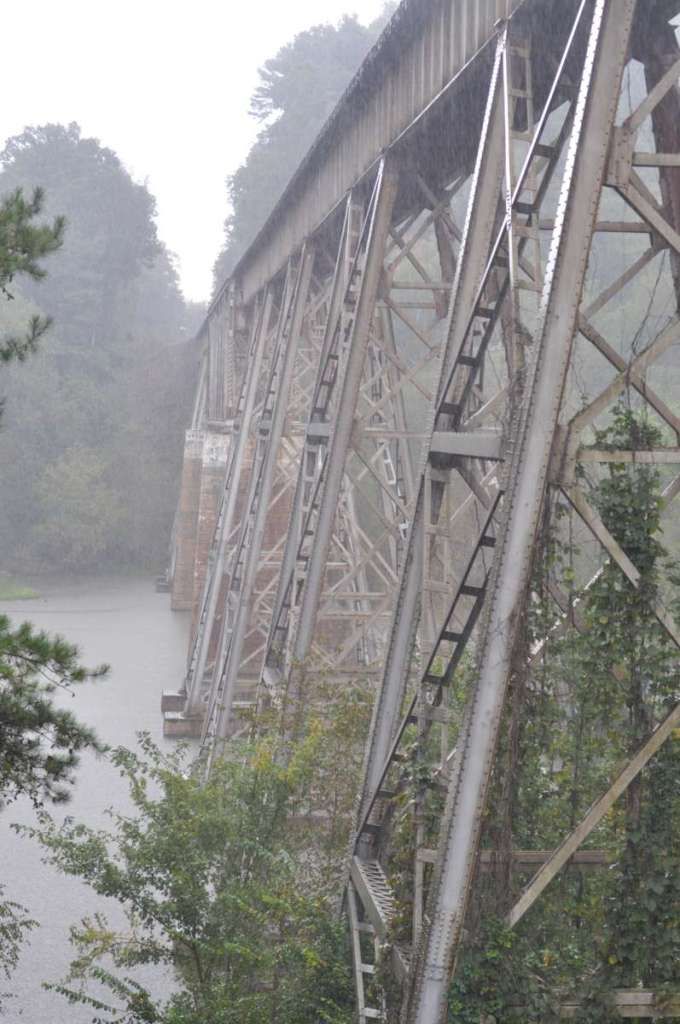
Looking across with the structure:
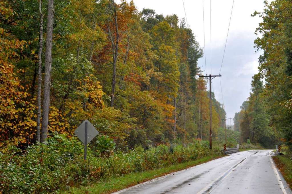
Once I quit railfanning, I headed for some twisty roads. I grabbed 221 to get to 226 to get to 226A. That route takes you WAY up the mountains to the tiny town of Little Switzerland, just off of the Blue Ridge Parkway.
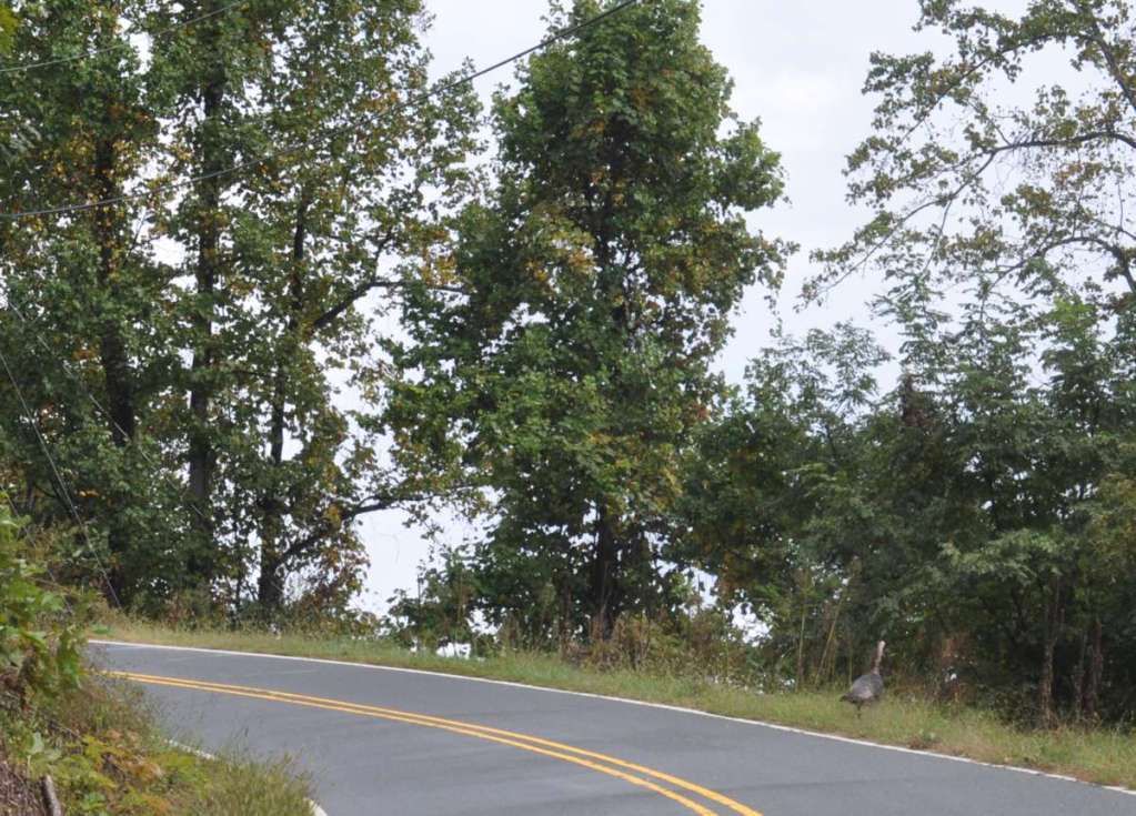
On my way out the mountain, I whipped around a rain soaked bend to find some turkeys. There were four, but by the time I got stopped & my camera out, this was the only one left.
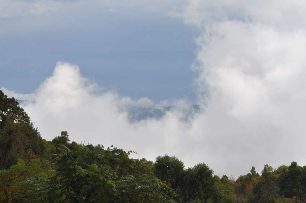
Amidst all of the wet roads, I did make it to the top. You can see the clouds and storm below:
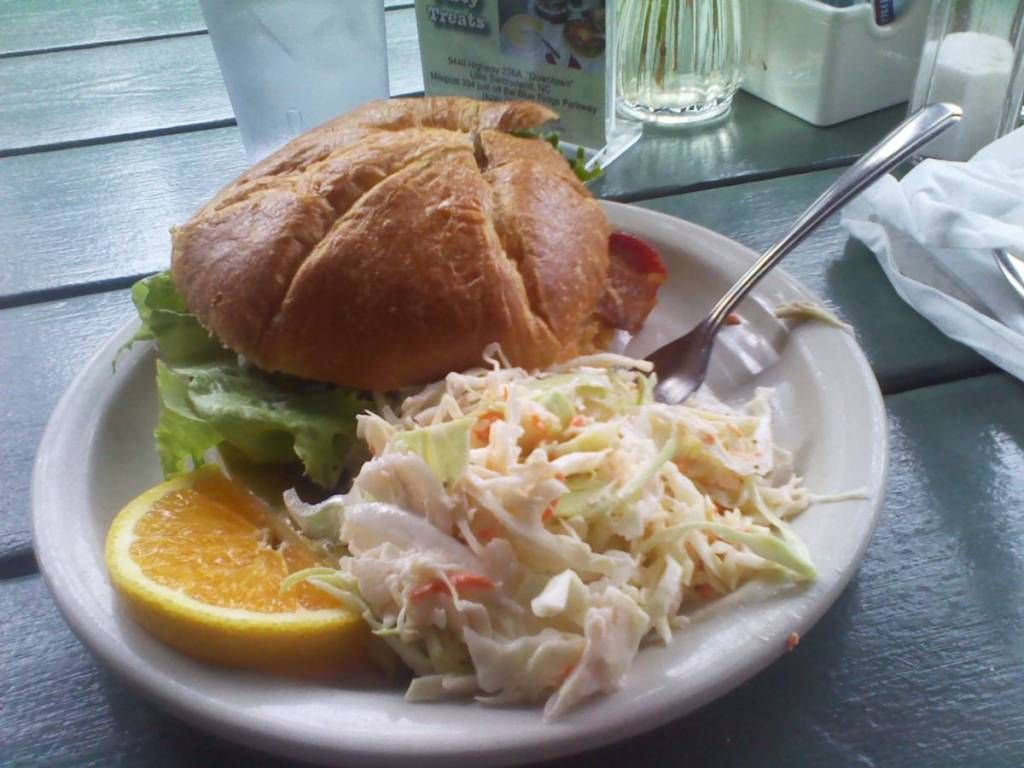
I grabbed a bit to eat right there in Little Switzerland, got a smoked trout BLT and it was great!
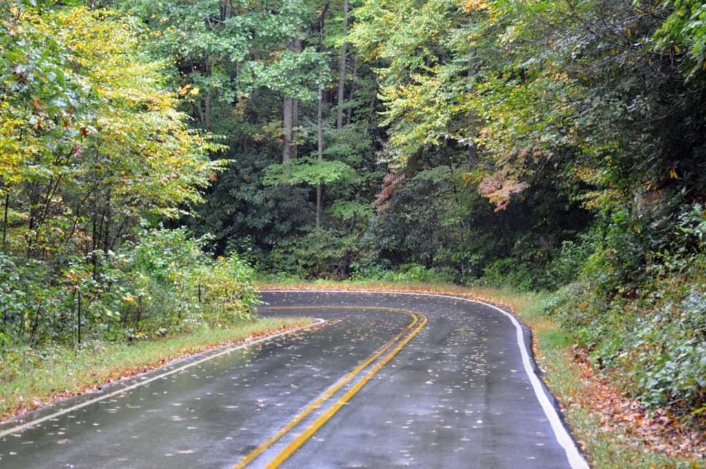
I then headed down a road that would eventually take me to US19 just east of Burnsville.
It's full of great turns and scenery too!
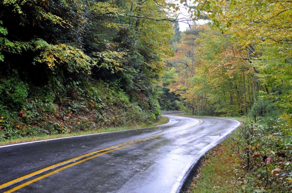
You can also see the color is coming to the higher elevations!
From here on, it was unsuccessful rain dodging back home. Believe it or not, this was just a 200-mile day. However, being soaked + highway speed wind = I was frozen by the time I got home.
JM


